14 May 2023
Taiwanese grand canyon
Flame Mountain from Tai'an station
Somehow I missed the main spot for taking a photo on flame mountain, oh well, I still got a few half decent shots of the new hot instagram spot featuring badly eroded hills that is sometimes referred to as Taiwan's grand canyon.
Apparently, it used to be illegal to hike here, after a few people tried to climb the eroded hills and died. Then you needed a guide and a permit, or maybe just a permit with lies being told by people selling themselves as a guide. But the good news is, this hike is now open for all. Taiwan does have a lot of hikes that really do require a permit, some of which you need to enter a lottery to win a permit, but I read they are planning to scale back this silly system.
Getting to flame (sometimes called fire) mountain is actually relatively straight forward, because you do not need a bus. Some say you need a car. Allow me to explain.
From Taichung you can get the slow local train to Tai'an, it is about a 40 minute journey. Then you have a 4km hike to the start of the trail, you will need to do that same 4km again at the end, so this adds 8km (more like 9km if you detour to the 7-eleven for supplies) to the 7km hike. So make sure you know how to handle approx 4.5 hours (some of it running) or 30,000 steps.
After having said all that, it is a relatively easy hike, with some different views (not all green), and a path that is an actual hiking trail rather than a concrete staircase. Onto the pics.
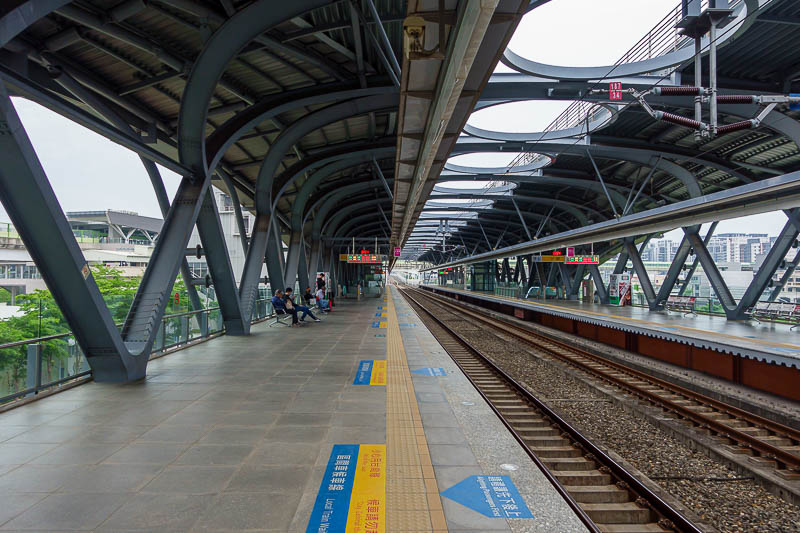
I caught the MRT to Songzhu station where I changed to the slow train to Tai'an, this seemed quicker than taking the BRT to Taichung main station. Here is Songzhu station on the outskirts of Taichung.
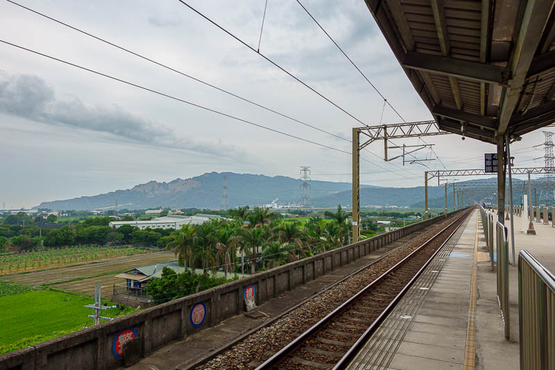
Tai'an station is in the literal middle of nowhere. There is a train park with a cafe but no convenience store. I will show the train park on my way back. The nearest convenience store is on the nearby highway, and it is a very good one, larger than the ones in the city.
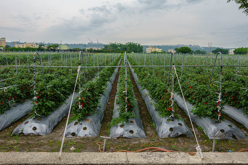
My journey to the start of the hike went through various small farms, this one growing cherry tomatoes.
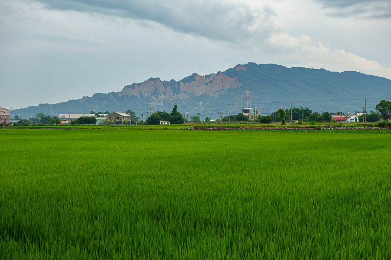
Of course there is also rice, and that is my mountain in the background. You can see the eroded cliffs it is famous for.
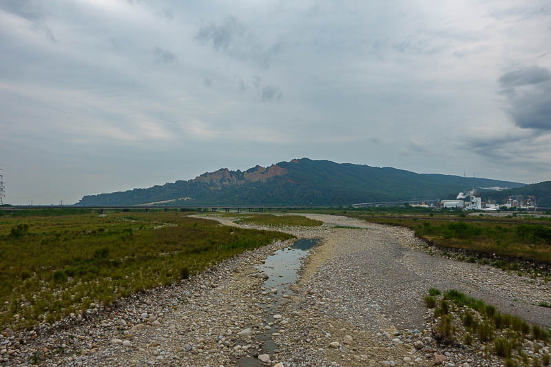
I had to cross over a long bridge over some flood control areas, there is no footpath! But not too much traffic. Here is the view from the bridge.
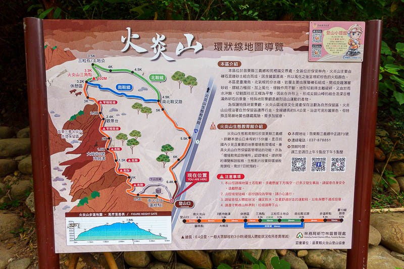
Map for reference, I did the full loop including the green bit at the top.
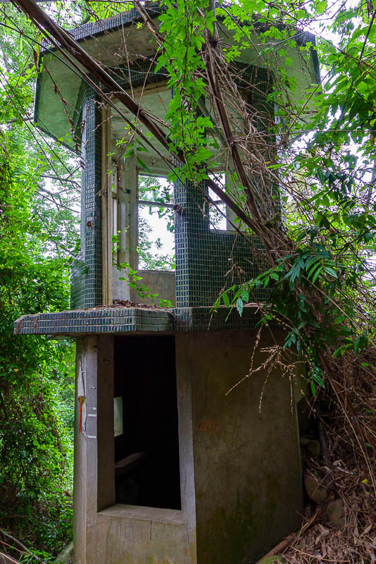
This may have been the old permit checking station, if permits were ever truly required.
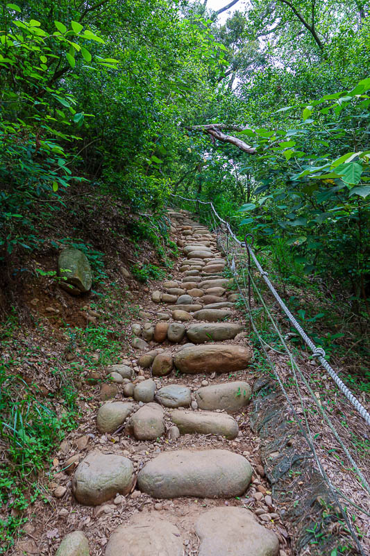
No actual stairs today, but some rocky stairs like this. Not at all slippery.
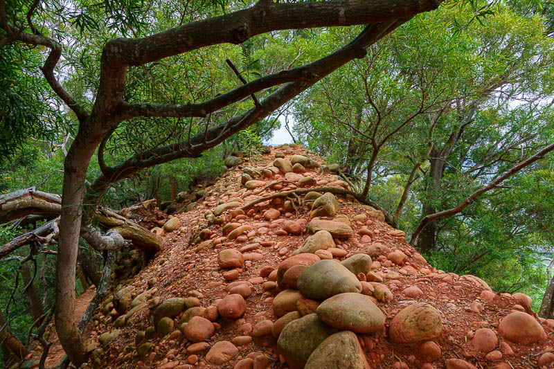
But also bits of the path like this. Reminds me of Australia.
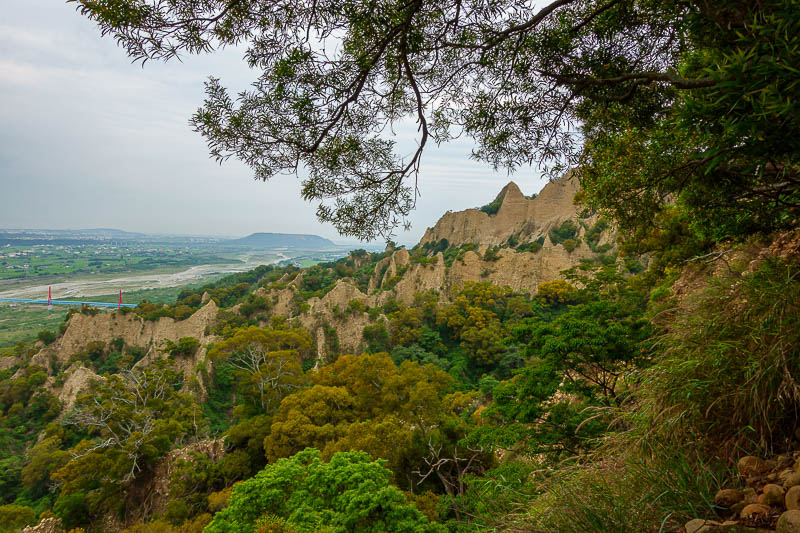
First view of the cliffs, that look like flames, hence the name.
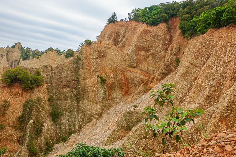
More cliffs, not a quarry, natural erosion.
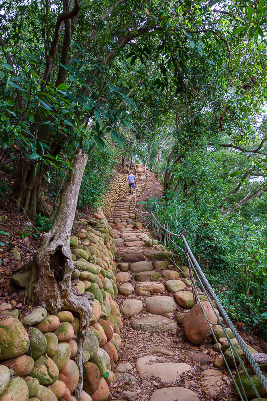
I ended up missing the main view spot, because there is a rock stair case like this just back from the edge, and many signs telling you to not go near the edge. Wherever those signs are, is where the good views are!
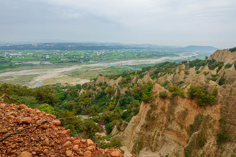
Not at the top yet.
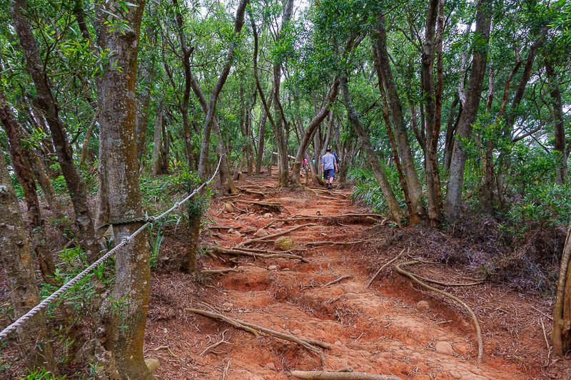
This is the best kind of path. There were a few other people at the start of the hike today, but they mostly stopped at the view spot (that I missed) and went back down again.
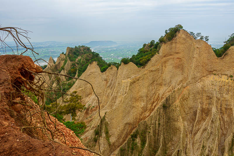
2nd to last grand canyon view.
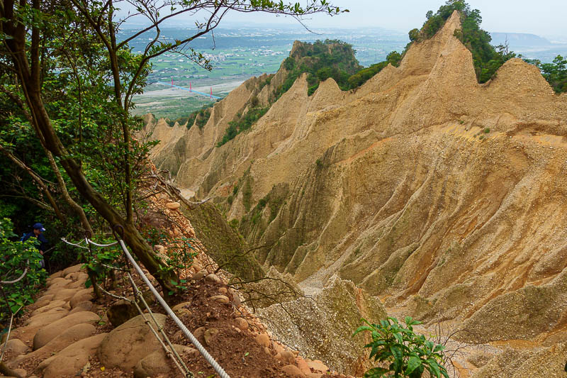
This is the best I got of Taiwan's grand canyon. I should have done a better job of finding a spot around to the right, I have seen some photos that look directly down the valley.
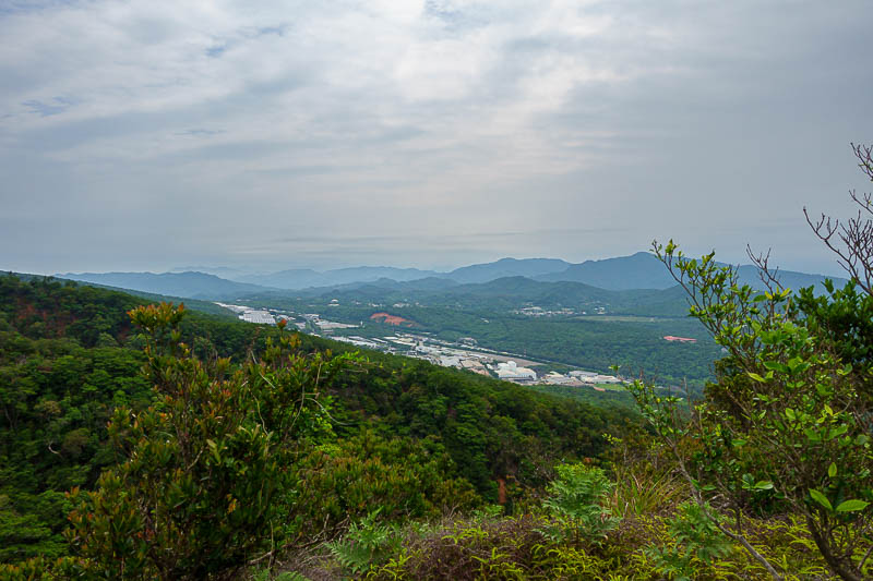
View from the top, or a top anyway. At this point I realised I had missed the view spot, because now it was green in all directions.
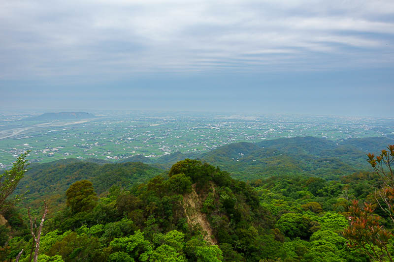
Here are the farmlands I walked through to get to the hike. Very flat. This is what farms in Taiwan look like, small, green, with buildings everywhere.
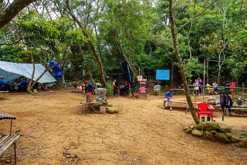
As far as distance goes, this little spot is the half way point. But it is probably more than half way as far as time goes as it is mostly flat and down hill from here. I think you can take a shortcut along the blue bit of the map from here, I took the green bit to the actual highest point of the trail.
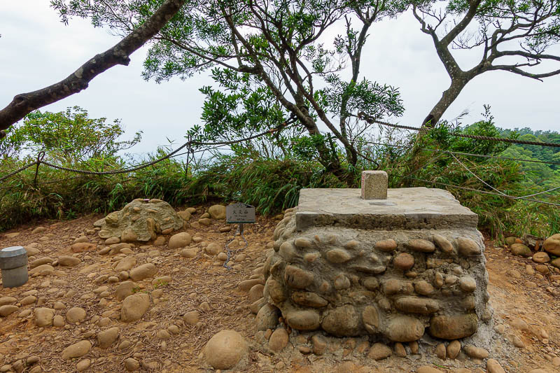
Apparently, the highest point, at only 602m. No view.
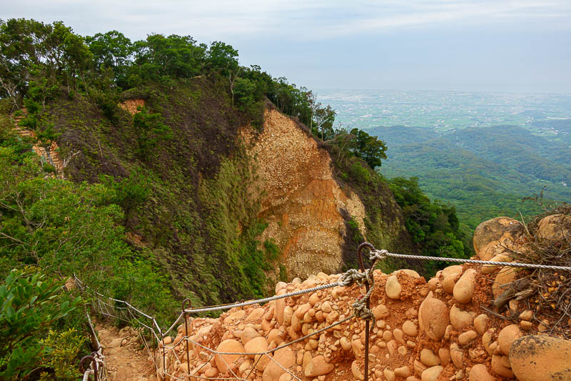
Some nice parts of the trail along the ridge.
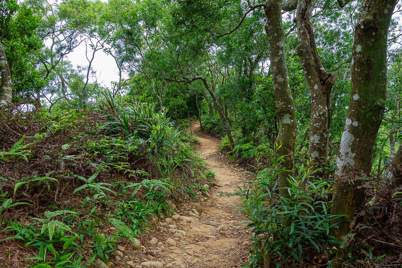
I was really enjoying the natural trail today. Long sections were like this.
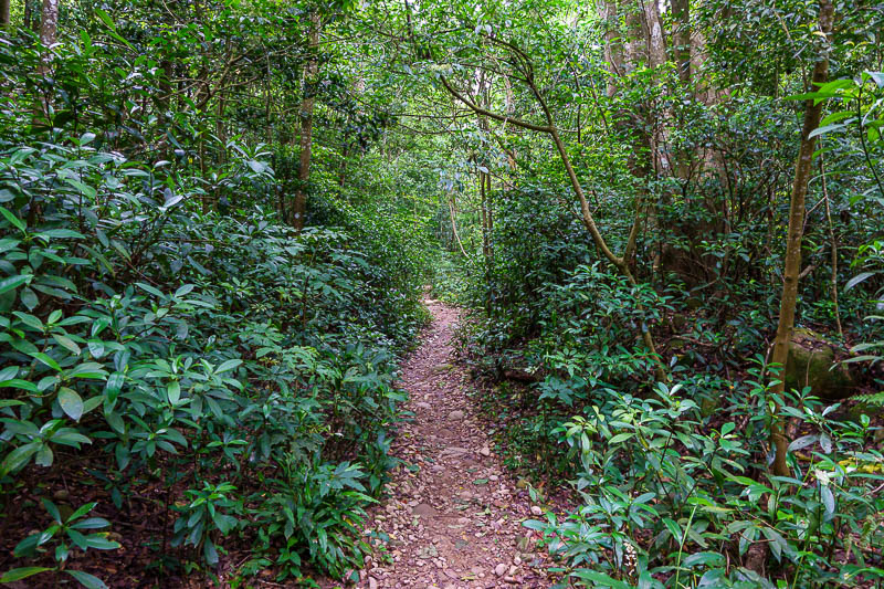
The path down became a bit more of a forest. Lots of noisy birds and no other people.
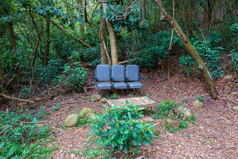
No pavilion style rest spots today, someone carried up some seats from out of a plane.
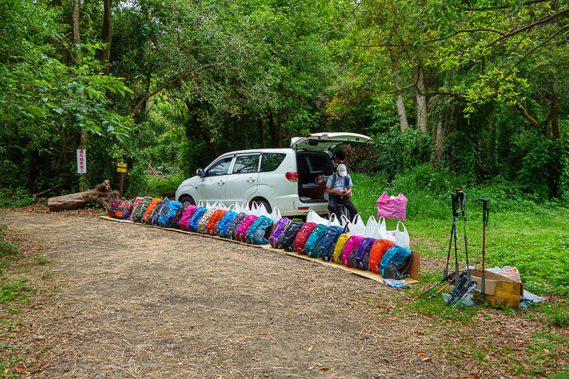
Right at the end of the hike, here is a guy selling hiking equipment. This is the end of the hike, everyone follows the clockwork course. So I guess the idea is you buy gear here because whatever you used today was useless?
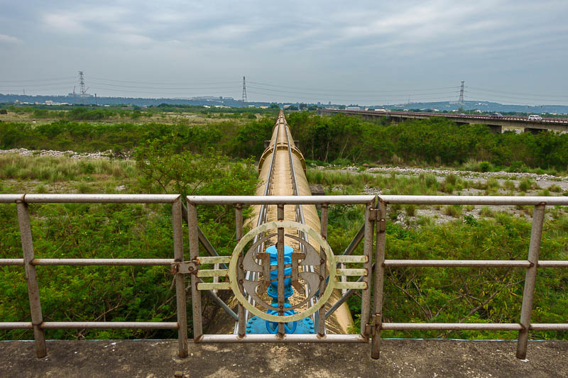
On my 4km walk back to the train, I thought I might go over the flood control area on this water pipe rather than the bridge you can see to the right that has no footpaths. I pondered briefly then decided against it. It definitely would have been safer!
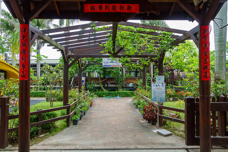
As promised here is the train park cafe area at Tai'an station. It appeared to be open for lunch. You cant see it here, but there are actual train carriages instead of buildings.
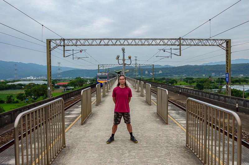
And since I had 20 minutes to kill until the train. The stance. I look fat?! Especially my face. Tonight will probably be a shorter outing.